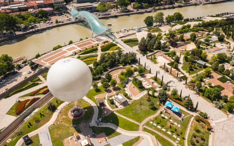
Bridge of Peace in Tbilisi

The Bridge of Peace in Tbilisi is a pedestrian bridge over the Mtkvari (Kura) river. Coordinates: 41.693, 44.80846. The Bridge of Peace over the Mtkvari River in Tbilisi was conceived and implemented as a symbol of the connection of the Old City with the new time. It has become one…